Saucon Rail Trail
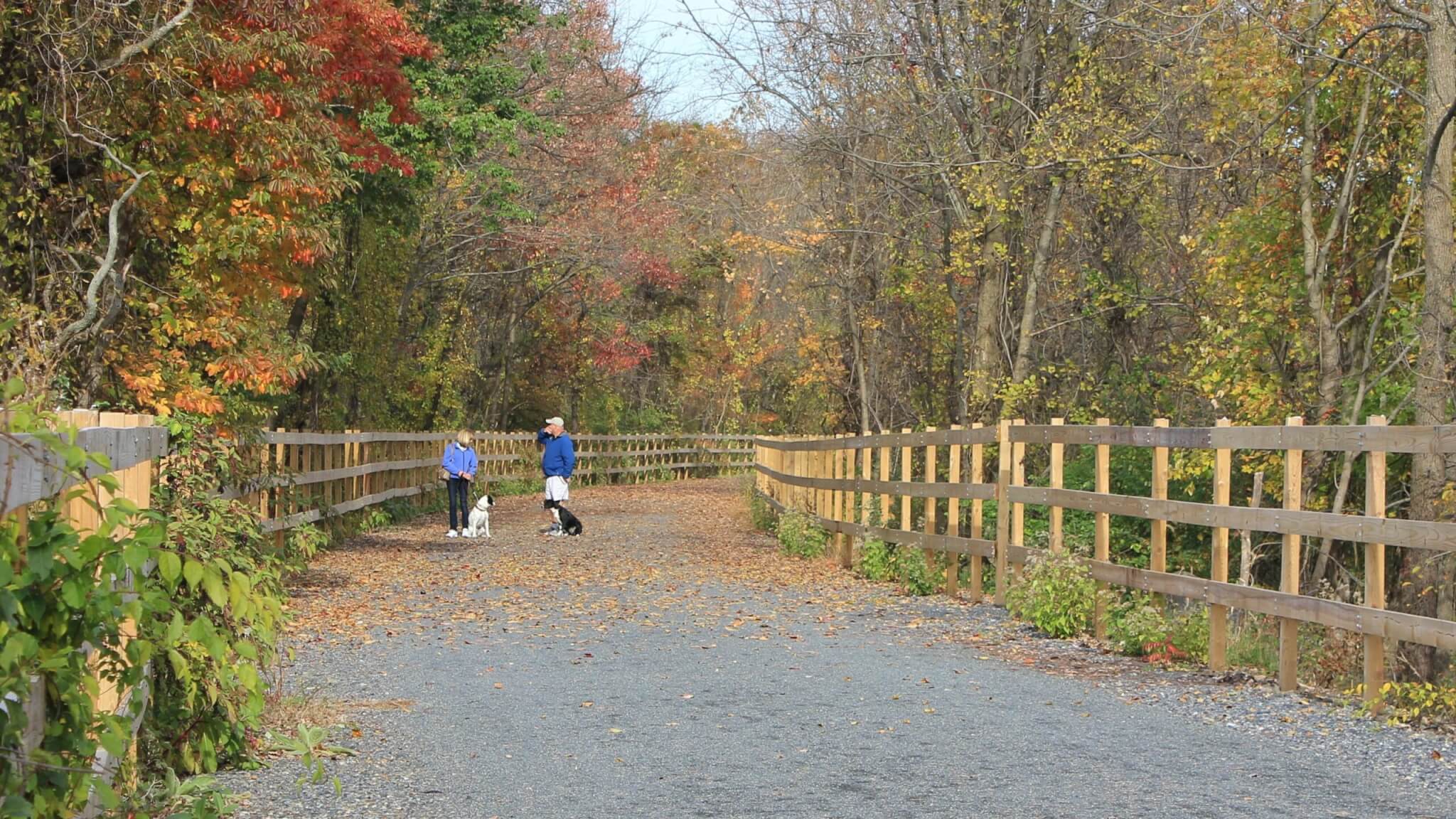
- Surface Asphalt, Crushed Stone/Cinder
- Length 7.5 mi
- Width 15 ft
- Grade 2°
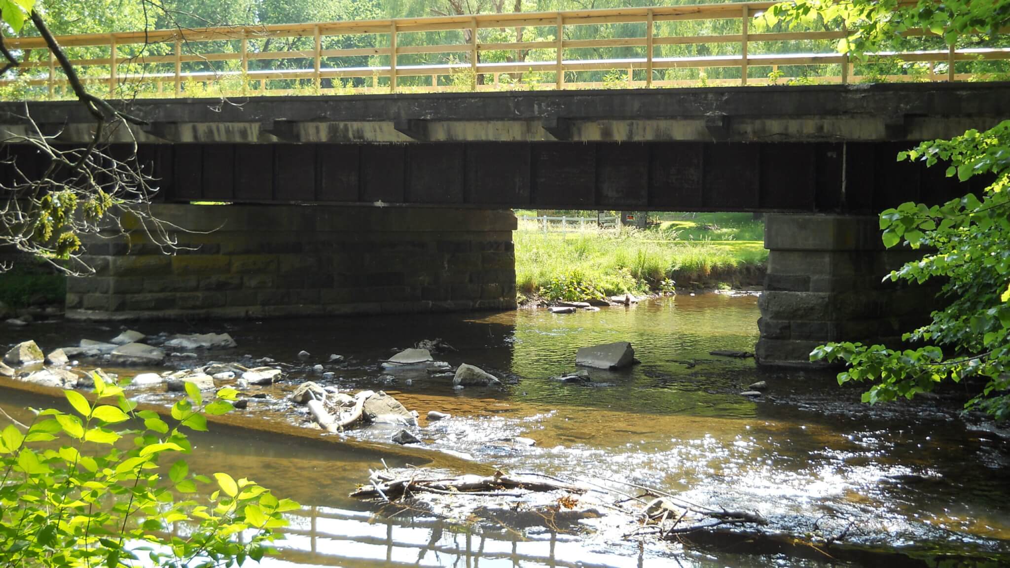
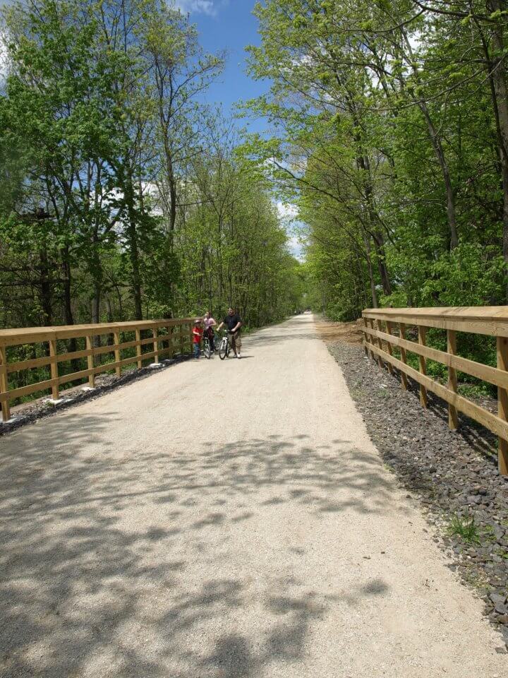
Before the Saucon Rail Trail became what it is today — 7.5 miles of beautiful trail — it was a railroad called the North Pennsylvania Railroad (N.P.R.R.). Through the years, the railroad name was transformed, merged, consolidated and transferred through many railroad companies.
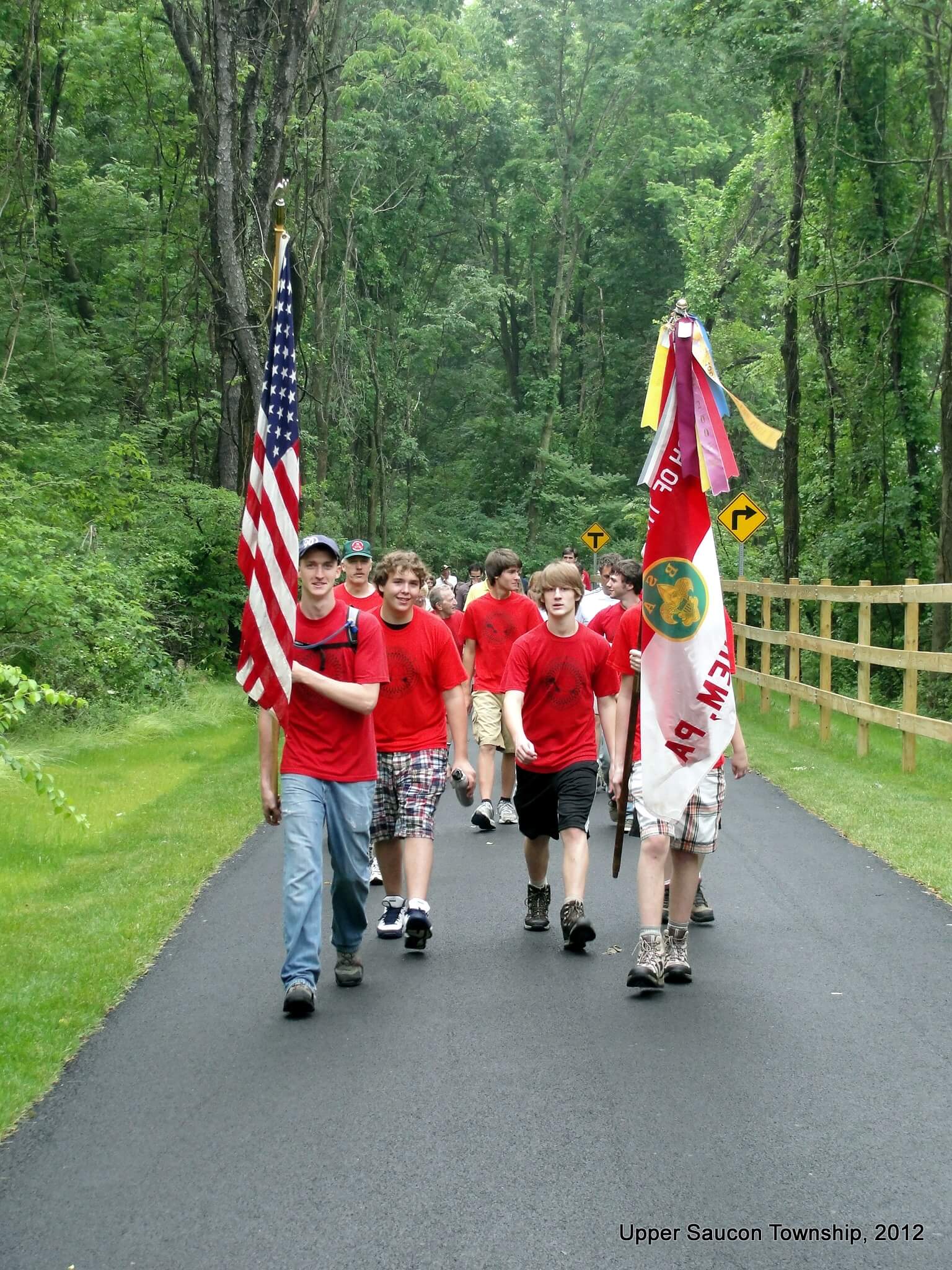
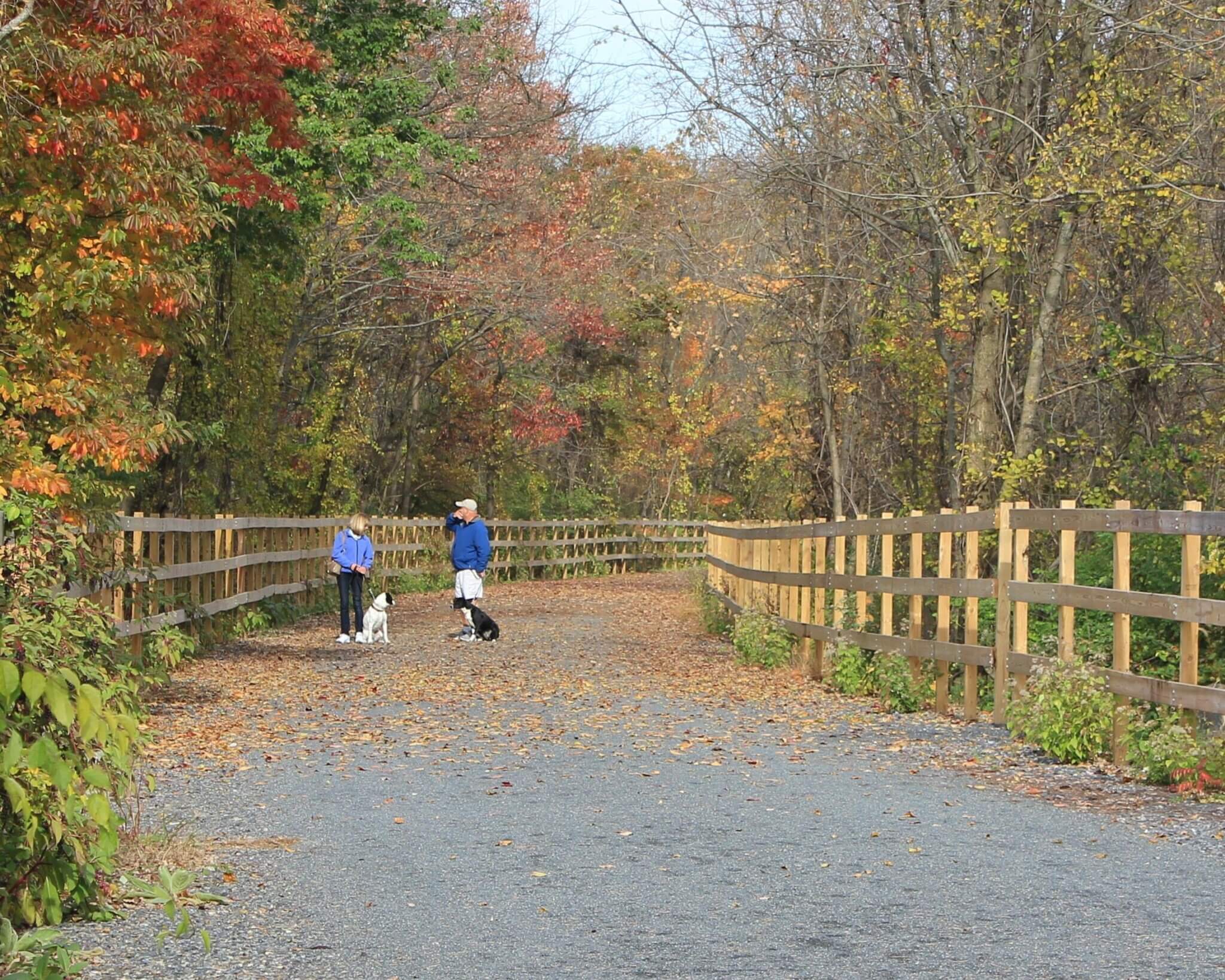
The Saucon Rail Trail opened as a trail in 2011. The trail runs from Hellertown, the Northern most point; to Coopersburg, the Southern most point. There are many access points along the trail, described below and on the downloadable Saucon Rail Trail map to the right.
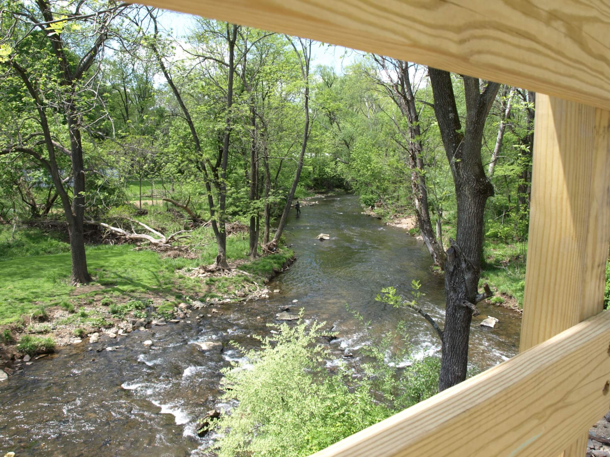
There are many historic views along the trail as well as beautiful views of the Saucon Creek.
Be sure to spend some time in Hellertown or Coopersburg! Visit the Saucon Rail Trail website for more information.
Trail map
See this trail on the map. Tap a marker for details and directions.
Open interactive mapTrail guide
- Surface
- Asphalt, Crushed Stone/Cinder
- Date opened
- September 1, 2011
- Trail type
- Multi-Use
- Length (open)
- 7.5 mi
- Width
- 15 ft
- Grade
- 2°
- Public restrooms
- Available Flush toilets at Water Street Park and Upper Saucon Twp Community Park. Port-o-john at Reading Drive Trailhead. Composting toilet at Living Memorial Park.
- Downloads
- Trail Map
Trail access points
Water Street Park at 412 W Water St, Hellertown, PA has 50 parking spaces with 5 ADA parking spaces and a playground.
Reading Drive Trailhead at 1770 Reading Dr, Bethlehem, PA has 20 parking spaces with 2 ADA parking spaces.
Upper Saucon Township Community Park at 3231 Preston Lane, Bethlehem, PA has 100 parking spaces with 10 ADA parking spaces, a pavilion, and a playground.
Southern Lehigh Living Memorial Park along E Landis St, Coopersburg, PA has 100 parking spaces with 10 ADA parking spaces and a playground.
Points of interest
Points of interest are listed here on SauconRailTrail.org.
Municipalities connected
Trail rules
Trail rules are listed here on SauconRailTrail.org.
Future trail plans
There are future plans to connect the northern end to South Bethlehem Greenway and connect the southern end to Upper Bucks Rail Trail.
Notices and safety information
For more information about the Saucon Rail Trail Oversight Commission, how to schedule an event on the trail, or how to report a problem on this trail, visit http://sauconrailtrail.org/.
On the trail