Nor-Bath Trail
- Surface Asphalt, Crushed Stone/Cinder
- Length 6 mi
- Width 8 ft
The Nor-Bath Trail is a six-mile rail-trail owned & maintained by Northampton County, Department of Public Works, Division of Parks & Recreation. It follows the route of the historic Northampton & Bath Railroad, which connected the boroughs of Northampton & Bath to carry cement from the Atlas Portland, Bath Portland & Keystone Cement companies to markets on the east coast of the United States; the railroad was first opened for service in 1902. Due to its short route, locals called it the “Nowhere & Back Railroad.” It was constructed as a single-track, standard gauge, steam railroad. However, its reputation as a pioneer was earned in the 1930s, when it became the first US railroad to become completely dieselized. It replaced its first steam locomotive with a more powerful diesel-electric locomotive in 1932 & added two more in 1937.
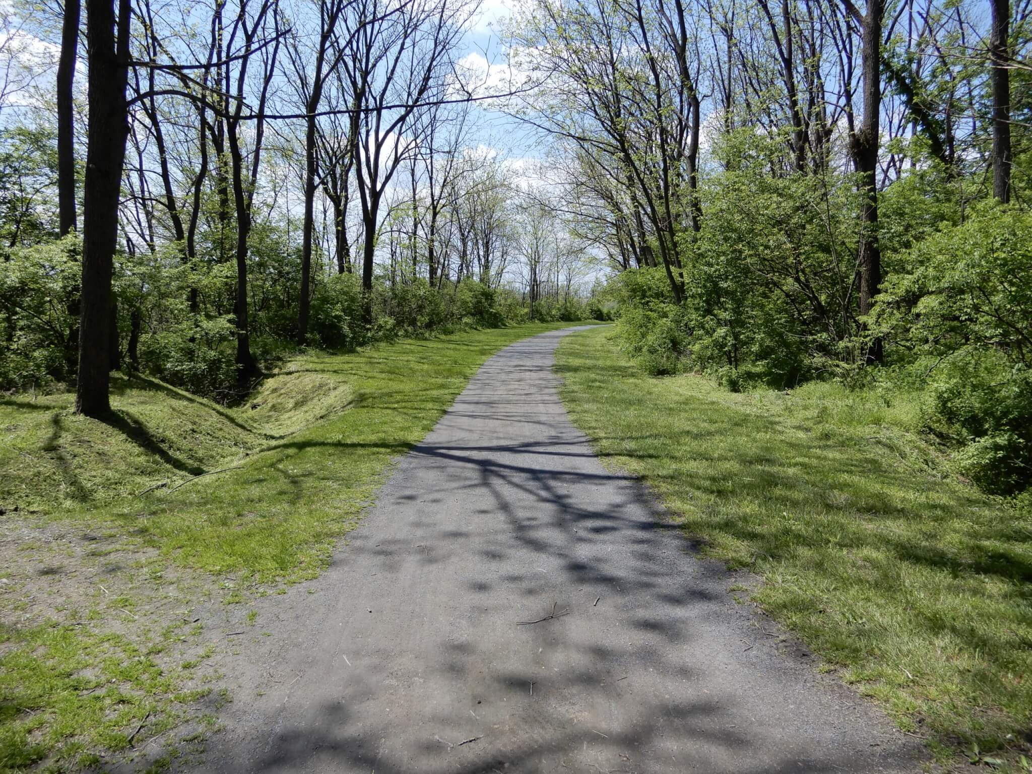
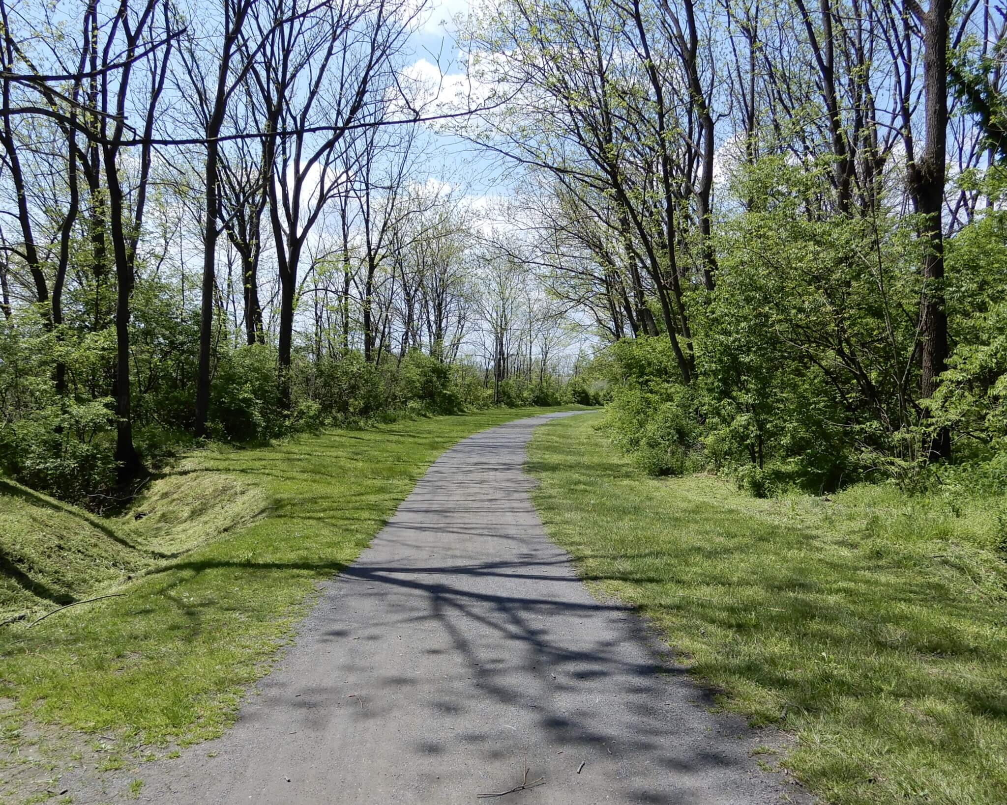
For 77 years, the tiny Northampton & Bath Railroad traveled the seven miles between the two Northampton County towns that gave the line its name. Then, like its larger cousins, the N&B RR fell victim to the changing face of transportation & the rise of the trucking industry. After it fell into disuse in 1979, the corridor was purchased by Northampton County in 1980, thus allowing the “little train that could” to continue to serve its namesake towns by connecting their parks, schools & historic centers. Today, you have a pretty tree-lined trail that is perfect for a walk or ride.
The Nor-Bath Trail encompasses the seven-mile Nor-Bath Greenway, connects to the 16-mile Hokendauqua Creek Greenway on its west end in Northampton Borough & when the trail is extended into Bath Borough on its east end, it will connect to the 18-mile Monocacy Creek Greenway. The Nor-Bath Trail travels through the Monocacy Creek, Catasauqua Creek, Hokendauqua Creek and Dry Run watersheds & is located in the Lehigh River Sub-basin & the Delaware River Basin. It is also within the Delaware & Lehigh National Heritage Corridor and connects to the D&L Trail in Northampton Borough’s Canal Street Park.
Trail map
See this trail on the map. Tap a marker for details and directions.
Open interactive mapTrail guide
- Surface
- Asphalt, Crushed Stone/Cinder
- Date opened
- January 1, 1996
- Trail type
- Multi-Use
- Length (open)
- 6 mi
- Width
- 8 ft
- Public restrooms
- Available Location: 6373 Jacksonville Road, East Allen Township (40.706189, -75.406316), 5450 Liberto Lane, East Allen Township (40.685307, -75.440817), and 302 East Bullshead Road, Allen Township (40.683455, -75.457967). Type: Public. Availability: Seasonal.
- Downloads
- Trail Map
Trail access points
Jacksonville Park
6373 Jacksonville Road, East Allen Township (40.706189, -75.406316)
Parking: Over 10 spaces
Bicentennial Park East
5450 Liberto Lane, East Allen Township (40.685307, -75.440817)
Parking: Over 30 spaces
Wayne A. Grube Memorial County Park
302 East Bullshead Road, Allen Township (40.683455, -75.457967)
Parking: Over 30 spaces
Savage Road Trailhead
(40.688703, -75.469875)
Parking: Over 20 spaces
Clear Springs Road at Horwith Fields
(40.684030, -75.484519)
Parking: Over 10 spaces
Canal Street Park
(40.677090, -75.490051)
Parking: Under 10 spaces
Amenities: Pavilion, Playground, Ball Fields
Municipalities connected
Connected trails
Trail rules
- Open sunrise-to-sunrise, 365 days a year.
- Dogs must be on a leash no more than six-feet long.
- Rules are set and enforced by Northampton County Division of Parks & Recreation.
Notices and safety information
Use caution when crossing public roadways.
On the trail